

Utilising Drone Meshes for Contextual Massing and Visual Impact Assessment
We have been experimenting with the capture of land meshes using various DJI drones and using photogrammetry software to generate 3d point clouds and 3d meshes which can be imported into the Archicad project file .
The resulting file can be used to assess sight lines and visual impact from any location within 1km of the proposal site ( distance can be increased with multiple drone flights ).
Generating this 3d data , in the majority of cases , can be achieved within 1 working day of the drone flight !
with an accuracy of 1.5cm per pixel which in real term units is around 100mm , pretty impressive from a drone 30m in the air .
This enables us to provide the client with conceptual data within the first week from instruction as well as pre-application enquiries within the same timeframe .
Compared with the traditional route of acquiring survey data from a land surveyor you would be looking at a 4 - 8 week lead time before you even start any design work .
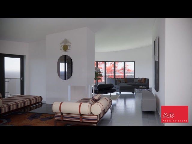
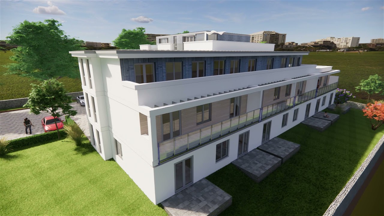
Example below of a walkthrough with a small development of 5 residential units sat within its urban context
If you are interested in taking advantage of this technology for one of your own projects please feel free to contact us at contact@ad-architecture.co.uk we will be happy to discuss your requirements and advise on what can be achieved .